Climate & Sustainability Program
Decentralized environmental monitoring and watershed conservation
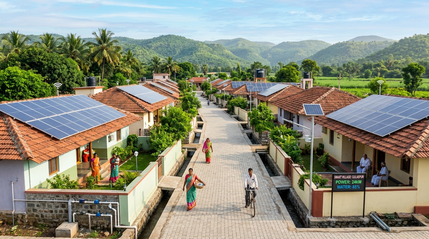
Executive Summary
Problem Statement
Climate change and unplanned groundwater extraction are causing severe water scarcity and soil degradation in rural Maharashtra, threatening farming livelihoods.
Proposed Solution
Deploy automated meteorological sensor arrays and analyze topographical contours using drones to optimize watershed recharging.
Project Objectives
- check_circle Install rural micro weather stations
- check_circle Generate topological contour maps
- check_circle Monitor groundwater level shifts
- check_circle Assist panchayats in conservation planning.
Technology Integration & Infrastructure
Barometric, rainfall, and soil moisture sensors, telemetry systems, drone photogrammetry software.
Implementation Methodology
1. Conduct topographical contour scans of local terrain; 2. Setup solar-powered micro weather stations; 3. Log groundwater level shifts over seasons; 4. Assist panchayats in water conservation planning.
Expected Outcomes
Detailed hydrological contour maps, real-time local weather indicators, and optimized soil conservation strategies managed by village committees.
Impact & Measurable Results
Mapped 250 acres of agricultural land in Nagpur district to guide the construction of rainwater harvesting structures.
Frequently Asked Questions
How does weather data help farmers?
Panchayats broadcast local weather changes and soil moisture warnings via SMS alerts, helping farmers optimize irrigation cycles.
Who owns the weather stations?
Navavritti installs and maintains the weather stations, sharing all logs openly with the local community.